UN
3 The Pollards
£ 182,000
Description
We don't have a Description for this property.
- Bedrooms
- 2
- Bathrooms
- 0
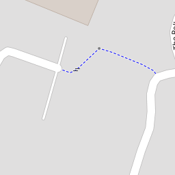
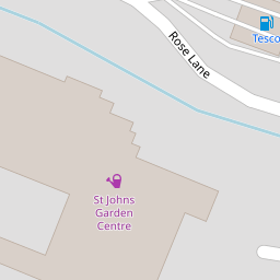
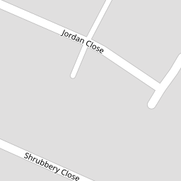
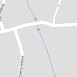

Leaflet © OpenStreetMap contributors
The heatmap indicates the level of crime in the area. The color of the heatmap indicates the crime severity and recency.
Metrics Year-on-Year
- Average area value
- 276,950.00 £Increased by 0.29 %
- Average area rental value
- 598.00 £/moIncreased by 11.78 %
- Est rental Yield
- 2.59 %Increased by 11.64 %
- Crime Rate
- 22.00 %Unchanged by 0.00 %
from 276,144.00 £
from 535.00 £/mo
from 2.32 %
from 22.00 %
Nearby Schools
| Name | Type | Ofsted | Distance |
|---|---|---|---|
| The Lampard Community School | Foundation Special School | Good | 0.41 KM |
| Eden Park Academy | Academy Converter | 0.64 KM | |
| Newport Community School Primary Academy | Academy Converter | Outstanding | 0.73 KM |
| On Track Education Services | Other Independent Special School | Good | 1.50 KM |
| Orchard Vale Community School | Academy Converter | Good | 1.54 KM |
Images
Nearby Streets
| Name | Average Price | Average Sqft | Distance |
|---|---|---|---|
| The Lawns | £ 595,000 | 0 | 0.00 KM |
| Whiddon Drive | £ 0 | 0 | 0.00 KM |
| Burlington Close | £ 0 | 0 | 0.00 KM |
| Eddy's Lane | £ 0 | 0 | 0.00 KM |
| Barbican Lane | £ 740,000 | 0 | 0.00 KM |
Nearby Transport
| Name | NLC | TLC | Distance |
|---|---|---|---|
| Barnstaple | 5725 | BNP | 2.97 KM |
| Chapelton (Devon) | 5820 | CPN | 6.24 KM |
Nearby Listings
| Address | Price | Type | Score | Distance |
|---|---|---|---|---|
| Barnstaple, Devon | £ 300,000 | BUY | 7 / 10 | 0.07 KM |
| Coppice Gate, Barnstaple, Devon, EX32 | £ 400,000 | BUY | Unknown | 0.17 KM |
| Shrubbery Close, Barnstaple, Devon, EX32 | £ 295,000 | BUY | 7 / 10 | 0.20 KM |
| Fairacre Avenue, Barnstaple, Devon, EX32 | £ 399,000 | BUY | 7 / 10 | 0.23 KM |
| Gould Road, Barnstaple, EX32 | £ 179,950 | BUY | 6 / 10 | 0.30 KM |
Nearby Properties
| Address | Price | Distance |
|---|---|---|
| 5 The Pollards | £ 179,000 | 0.00 KM |
| 13 The Pollards | £ 208,000 | 0.00 KM |
| 11 The Pollards | £ 80,750 | 0.00 KM |
| 3 The Pollards | £ 182,000 | 0.00 KM |
| 1 The Pollards | £ 113,750 | 0.00 KM |